VORP Thrift Store

VORP Thrift Store
Click the photo to visit the VORP Store on Facebook.
Showing posts with label severe thunderstorms. Show all posts

Monday, March 19, 2018

Hazardous Weather Outlook-Stormy Conditions Possible across Tennessee This Afternoon and Evening.

The National Weather Service has issued a Hazardous Weather Outlook for Middle Tennessee.
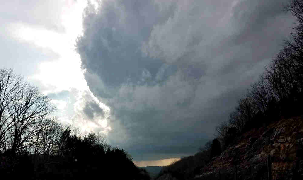


The development of severe thunderstorms is expected by the early afternoon hours across western portions of Middle Tennessee. 
Paid Political Announcement

The potential for development of severe thunderstorms will spread eastward into central portions of Middle Tennessee as the afternoon hours progress. The potential for severe thunderstorms will continue across eastern portions of Middle Tennessee including the Cumberland Plateau Region through the mid-evening hours. 
NewCarDawg App is HERE!
Find it on Play Store or Apple!

Main threats from severe thunderstorms that do develop will be straight line damaging winds, large hail, and isolated strong tornadoes.

Thursday, August 31, 2017

Hazardous Weather Outlook as remnants of Hurricane Harvey pass through Tennessee.

This Afternoon and Tonight

A Flash Flood Watch is now in effect for most of Middle Tennessee.
Locations across the higher elevations of the Upper Cumberland
Region, southern portions of the Cumberland Plateau Region, and
far southern counties across central and eastern portions of the
mid state are not within this watch area currently.
There is a slight risk of severe storms for counties near the Tennessee/Alabama border this afternoon through early this evening. There is a marginal risk of severe storms for locations around the I-40 corridor and southward up to the above mentioned slight risk area for this afternoon through early this evening. With any severe storms that do occur, the formation of isolated tornadoes will be the primary threat. DAYS TWO THROUGH SEVEN...Friday through Wednesday Heavy rain will persist through Friday as Tropical Depression Harvey moves across Middle Tennessee. Forecast rainfall amounts from today through Friday afternoon range from up to 1 inch along the Cumberland Plateau, to 3 to 5 inches across the Nashville Metro Area, to 6 to 8 inches around Clarksville and Land-between- the-Lakes.

Wednesday, May 31, 2017

Severe Storms Possible Wednesday evening with Heavy Rain possible for the weekend.

National Weather Service has issued the following Hazardous Weather Outlook for Crossville, CUmberland County and Middle Tennessee:

Strong to severe storms will be possible this afternoon and evening for all of Middle Tennessee. Hail and gusty winds will be the main threats.

Heavy rainfall is possible on Saturday and Saturday night. The situation is still developing but there is the potential for a couple of inches of rain to fall.

Please click the link below to visit our sponsor.

Friday, May 19, 2017

Hazardous Weather Outlook for 5-19-2017

A few strong to severe thunderstorms may be possible this
afternoon and evening across northern Middle Tennessee generally
around and north of a Erin to Greenbrier to Jamestown line. Main
threats will be strong to damaging wind gusts and large hail.
DAYS TWO THROUGH SEVEN...Saturday through Thursday

Some strong to severe thunderstorms may be possible Saturday
afternoon and evening across western and central portions of
Middle Tennessee generally around and west of a Loretto to
Lebanon to Lafayette line. Main threats will be strong to
damaging wind gusts and large hail.


Sunday, April 30, 2017

Tornado Watch issued for the area until 7 PM tonight.

4-30-17
NOAA National Weather Service has issued a Tornado Watch effective now through 7 PM for Cumberland Co Putnam, White, Fentress and others In Middle Tennessee.  A Tornado Watch is issued when weather conditions are favorable for the development of severe thunderstorms called a Supercell that are capable of producing tornadoes.  A tornado watch therefore implies that it is also a severe thunderstorm watch. A tornado watch must not be confused with a tornado warning. In most cases, the potential exists for large hail and/or damaging winds in addition to tornadoes.

Tornado Watch

Today and Tonight
Widespread thunderstorms are expected to move across middle
Tennessee this afternoon and evening. Some storms may be strong to
severe...with damaging winds...hail...and a possible tornado...especially
west of interstate 65. Storms could also contain heavy
rainfall...especially across southern middle Tennessee with the
additional threat of isolated flash flooding.

In addition to thunderstorms, the front will bring strong gusty
winds.


Wednesday, April 26, 2017

NOAA Hazardous Weather Outlook affects Crossville through the weekend.

A line of showers and thunderstorms will move across Middle
Tennessee from around midnight through Thursday morning. A few
storms could be strong to possibly severe, with damaging winds
the main threat.

DAYS TWO THROUGH SEVEN...Thursday through Tuesday

Friday evening into Friday night...scattered to numerous showers
and strong to severe thunderstorms are expected across mainly the
northwest half of Middle Tennessee. Some storms will be strong to
severe, with damaging winds, large hail, heavy rainfall, localized
flooding, and a couple of tornadoes all possible.

Sunday into Sunday night...widespread showers and thunderstorms
are expected to move west to east across Middle Tennessee. Some
storms will be strong to severe, with damaging winds, large hail,
heavy rainfall, localized flooding, and a couple of tornadoes all
possible.

Tuesday, March 21, 2017

SEVERE THUNDERSTORM WATCH in effect until 10 PM Central for Crossville/Cumberland Co.

The National Weather Service has issued a severe thunderstorm watch that covers Crossville and Cumberland County until 10 PM this evening central time.  The watch covers a large part of Middle and Eastern Tennessee.

The watch covers the following Tennessee counties.
BEDFORD              BENTON              BLEDSOE
BLOUNT               BRADLEY             CANNON
CARROLL              CHEATHAM            COFFEE
CUMBERLAND           DAVIDSON            DECATUR
DE KALB              DICKSON             FRANKLIN
GILES                GRUNDY              HAMILTON
HARDIN               HENDERSON           HENRY
HICKMAN              HOUSTON             HUMPHREYS
LAWRENCE             LEWIS               LINCOLN
LOUDON               MARION              MARSHALL
MAURY                MCMINN              MEIGS
MONROE               MOORE               PERRY
POLK                 PUTNAM              RHEA
ROANE                RUTHERFORD          SEQUATCHIE
SMITH                TROUSDALE           VAN BUREN
WARREN               WAYNE               WHITE
WILLIAMSON           WILSON


NOAA Hazardous Weather Outlook for March 21, 2017

Today and Tonight

There is a slight risk (level 2 out of 5) for severe thunderstorms
across southern Middle Tennessee this afternoon and evening,
generally along and south of the I-40 corridor.

A cold front will shift south to near I-40 by midday, with
scattered showers and thunderstorms expected to develop along and
south of the front this afternoon and continue into the evening.
Large hail and damaging winds will be possible in the strongest
storms, along with heavy rainfall and localized flooding.

Thursday, March 9, 2017

Special Weather Statement--Severe Thunderstorms possible tonight.

Severe thunderstorms possible tonight...

A band of strong to possibly severe thunderstorms is expected to
push across the mid-state later this evening and into the early
overnight hours. The strongest storms are likely to affect the
Clarksville area toward 10 pm and move rapidly south and east
...affecting the Nashville metro area around 11pm...Crossville
between 12 and 1 am...then out of the mid-state shortly after.

Damaging wind gusts are the main threat but large hail and
isolated tornadoes are also possible.