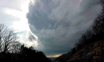
Storm Clouds (file photo by Jim Young)
Today and Tonight

There is an enhanced risk of severe storms west of I-65. Most of
the remainder of Middle Tennessee is under a slight risk,
including the Nashville metro area. The peak time for severe
storms will be during the afternoon through early evening. The
primary threat is damaging straight-line winds. Isolated tornadoes
are also possible. Brief flash flooding may occur with the
strongest storms.

Total rainfall today and tonight will average between 1 and 1.5
inches. This will likely cause some rises along rivers which are
already running high.
DAYS TWO THROUGH SEVEN...Sunday through Friday The next major cold front will sweep across Middle Tennessee Wednesday night and Thursday. More heavy rain is expected with this system, and rivers may be affected adversely.


Feel bad for my friends there I left before this crazy weather it there
ReplyDelete